This map of the region that would later become Big Bend National Park was created as part of the 1902-1903 topographical survey led by Arthur Stiles....
$11.95
Add:
This map set features 18 of the most interesting medium-length hikes in Big Bend National Park, in a convenient waterproof, rip-resistant booklet...
$14.95
Add:
Max: 20
By Louis Aulbach. A guide to the Rio Grande from Presidio, through Colorado Canyon in Big Bend Ranch State Park and Santa Elena Canyon in Big...
$19.95
Add:
By Louis F. Aulbach and Joe Butler. Covers the spectacular 83-mile run from La Linda to Dryden Crossing-- the famed "Lower Canyons." This...
$19.95
... more info
By Louis F. Aulbach. This is a guide for canoeing, kayaking or rafting the section of the Rio Grande in Big Bend National Park beginning at Terlingua...
$19.95
... more info
of Big Bend National Park and Ajacent Areas Science meets art! This visually fascinating image map is a computer generated composite of...
$15.99
Add:
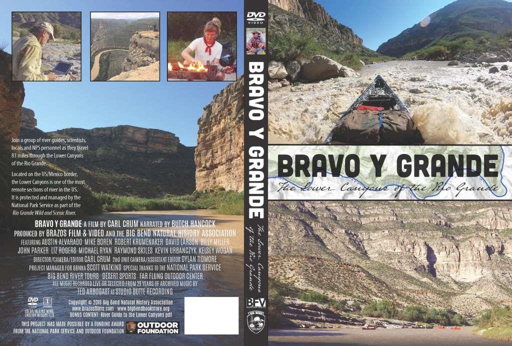
The Lower Canyons of the Rio Grande run 83 miles from the put-in at Heath Canyon Ranch to the take-out at Dryden Crossing. This week-long trip is...
$21.95
Add:
Newly revised version of the classic guide, with updated text and new full color maps and photos. Includes the “Great Unknown.” 20...
$19.95
Add:
This guide covers from Tapado Canyon to the Santa Elena Canyon takeout and includes Colorado Canyon and Santa Elena Canyon. A newly revised version...
$17.95
Add:
Guadalupe Mountains National Park Topo Map by National Geographic Maps, Trails Illustrated. This well designed map is printed on waterproof paper....
$14.95
Add:


